
I’ve spent this weekend house-hunting, so I don’t actually have anything to say about a new place I’ve been. But I have now spent a lot of time going to all sorts of obscure suburbs in Oxford. So I thought I’d tell you about them. (This is not going to be a riveting post, nor even one about welding, or soldering, or indeed any other method of attaching metals to each other. But it is a Sunday, so I have to write something.)
Let’s go clockwise around the main roads leading out of central Oxford, starting with…
Banbury Road
Goes to Kidlington, as previously blogged. But it also goes to Cutteslowe and Sunnymead, just before that. There’s an interesting bit of social history about Cutteslowe, in that it is the site of the Cutteslowe Walls. Here, in 1934, a private housing estate was built between the council one and the Banbury Road, and, to stop “undesirables” cutting through the private housing to get to their cheaper homes, high walls, topped with spikes, were built to separate the two estates, cutting across what would have been continuous roads. The council had trouble demolishing them, because they didn’t own the land on which the walls stood, but they eventually purchased it and demolished them in 1959. Other than a Blue Plaque, the only remaining reminder of the walls is that Carlton and Wentworth Roads still change their names to Wolsey and Aldrich Roads—which caused a bit of controversy recently when the council resurfaced the “posh” end of one, Wentworth Road, leaving its other end, Aldrich Road, untouched.
Still there at that end of Banbury Road is Cutteslowe and Sunnymead Park, which has a minature railway and miniature golf and (disappointingly) full-size cricket. There’s also a memorial pathway to Sri Chinmoy, the Indian spiritual leader, who doesn’t seem to have any specific connection to Oxford but I’m happy to be corrected.
Finally, there’s Wolvercote Cemetery, confusingly not in Wolvercote, which is where Tolkien is buried.
Marston Road
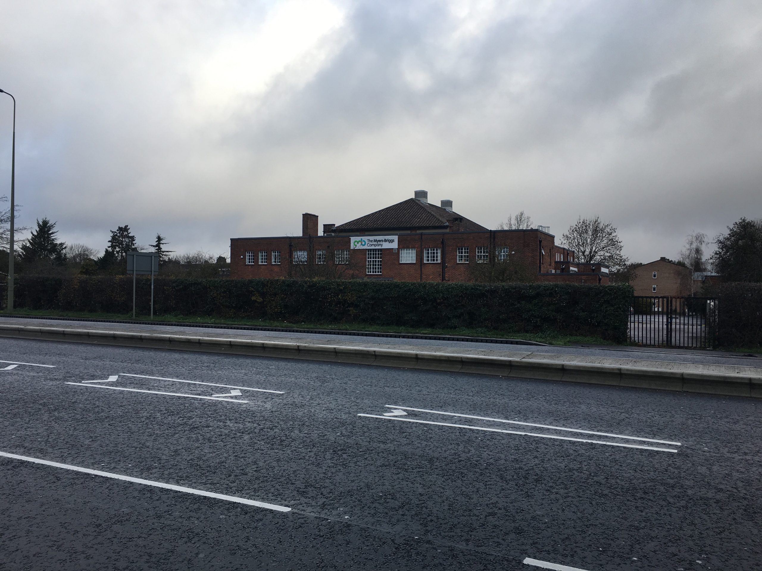
Leads to Marston. I don’t think I have many fun facts about Marston, but it is where the only blue-and-grey Co-op is in Oxford—that belongs to the Manchester-based Cooperative Group, whereas the others, all green, belong to the more-local Midcounties Cooperative.
That was the best I had until I turned to Wikipedia, which I accept you could have done (but I bet you wouldn’t have). Turns out that, during the siege of Oxford in the Civil War (when Oxford was, briefly, the Royalist capital of England), Marston was used as a base for the Parliamentarians, and its church tower used as a lookout point. The Treaty of Oxford, which ended the siege, was signed at what is now called “Cromwell House” on Mill Lane.
Headington Road
Leads to (you guessed it) Headington. Brookes is up there, as was the original stadium of Oxford United (nicknamed originally as “the boys from up the hill”). But I’m going to tell you about the Headington Shark, which is a large sculpture of a shark embedded in the roof of a house. Designed by artist John Buckley and placed there in 1986, the sculpture was built without planning permission and nearly was demolished, but the then Department of the Environment ruled that it could stay.
Who would put such a sculpture on their roof? Apparently, local DJ Bill Heine, who said it represented something to do with CND. As ever, I don’t get art.
Beyond that are the suburbs of Barton and Risinghurst. I don’t have much to say about them. They exist.
Morrell Avenue
Leads to Morrell. No, it doesn’t, there’s no such place. This is the only road that doesn’t go, eventually, to an identifiable settlement. But it does go to two hospitals: the Churchill Hospital and the Nuffield Orthopaedic Centre. These, I accept, are not places you should be trying to visit.
The Nuffield is named after William Morris, Lord Nuffield, who owned Morris Motors, but depressingly, here, a woman has been written out of history—the original donation was from Mrs Hannah Wingfield, and it was named after her until Morris came along and his named first was added to the title, then usurped hers. Meanwhile the Churchill was named for who you might expect, especially given that it was opened in 1942.
I’ve been to both, and can report that the Nuffield is quite modern but lacks facilities, while the Churchill, in its older parts, bears an uncanny resemblance to my old secondary school (which opened in 1941, so that makes sense). Unless you went to my secondary school, that will make no sense, but I want to leave a little bonus for my Bradfordian readers, seeing as they don’t get much to brag about.
Cowley Road
Leads to Cowley. Cowley was a major centre for motor manufacturing back in te day, including the factory of the aforementioned Lord Nuffield. Today only the BMW-owned Mini Plant remains; it’s still going strong, and in 2015 TV show Building Cars Live was filmed there. (The only motoring programme I know that sounds less thrilling than that is Touch the Truck, starring the late Dale Winton.)
Cowley is also home to Blackbird Leys, which was built to rehouse people displaced by slum clearance at Oxpens (now the ice rink and the car park opposite the Westgate). As something you might actually go to there, there’s a huge Vue multiplex and a bowling alley, next to the Kassam Stadium of Oxford United (it’s a bit tricky to get to, but you can do it by getting the 1 or 5 to Blackbird Leys and walking the last bit). Finally, there’s only Wilko store, and one of only two Greggs’ses.
Iffley Road
Goes to Iffley. I’ve already covered that pretty comprehensively, so I shall say no more.
Abingdon Road
Goes to Abingdon, and I’ve already written about that too. It also goes to Kennington and Radley, the latter of which is home to Radley College, a public school. I’ve been, actually, but in the dark, so I assume it’s basically like Eton.
Botley Road
Goes to Botley. Botley is actually not in Oxford, despite its proximity, and indeed until 1974 was not in Oxfordshire, despite its proximity to Oxford. Its most notable feature is probably the “Botley Cathedral”—actually an office block called Seacourt Tower. It has a little spire, you see.
The tower preserves the name of the lost village of Seacourt, which was deserted by around the year 1400. Also nearby is the village of Binsey, whose church is about a mile distant from the village: crop marks suggest the village was once much prettier. A friend (my companion to Leicester, West Wycombe, Slough and Windsor, in fact) tells me that the walk there is quite beautiful, and I must follow, almost literally, in his footsteps one day.
Woodstock Road
Leads to Woodstock—and I’ve only ever been to Blenheim Palace, years ago now, so I have nothing to say, but it’s on my list (I rather regret suggesting Kidlington over there, to be honest).
But it’s also how you get to Wolvercote, a beautiful village contained in the bounds of the city. The village contains three pubs, and nearby is Godstow, with one more. That one is The Trout, which features in Inspector Morse as one of the titular DI’s favourite haunts.
***
So why have I written a post about a number of places I’ve never been, or only spent minutes in if I have? Well, mainly because I’m writing this post standing on a train, without my laptop and so without access to archive photos, and so I was a bit stuck, to be honest. But also because this weekend proved to me how much of this city I still haven’t properly explored, and many of these places are good (and cheap) ways to get away from it all—as good as going somewhere further afield. Hopefully I’ll come back and write about them properly very soon.
Leave a Reply to Alex Cancel reply